


(Press Release) — With the recent cancellation of grant funding under the U.S. Bureau of Ocean Energy Management or BOEM, organizers of the Marianas Maritime Mapping Project that conducted workshops in July 2025 in Saipan, Tinian, and Rota have shared next steps for the project.
Team leader Dr. Jennifer McKinnon, a maritime archaeology professor at East Carolinian University, said notice of the grant cancellation was received last month, but several activities, including the creation of maps of Marianas maritime sites, practices, and heritage are still on track for completion next year.
“We have received notice that BOEM has cancelled our study as it no long aligns with their program goals or agency priorities. We were saddened by this, as we all, including the people of The Marianas, have put a lot of effort into the program,” said McKinnon. “However, we’re pleased to let the community know that we were already halfway through the study program when it was terminated, so several of the activities, including the creation of maritime heritage maps, are still on track for completion by next year.”
McKinnon said the team will return to the Marianas in March 2026 for the community to review and verify the compiled maps of maritime sites, practices, and heritage before finalization.
“We’re looking forward to finishing the maps as a resource for the people, by the people,” she said. “With the cancellation of the grant, these maps will stay with the Marianas and no longer need to be submitted to BOEM. We are also grateful to have the partnership of the Northern Marianas Humanities Council to make these maps accessible through online StoryMaps, a dynamic and engaging mapping platform.”
The project’s partnership with Chamolinian Cultural Village Inc. will also continue through support for cultural activities related to maritime heritage, including related dance and other practices.
“We are grateful for the commitment of Jen, (maritime archeologist) Maddie Roth, and the team for continuing to bring these maps and related activities to completion, despite the grant cancellation,” said CCVI Chairman Gordon Marciano. “We look forward to giving feedback on the maps next March and will be inviting the community to again come out at that time to help document and strengthen this important part of our history, culture, and daily lifestyle…our ocean knowledge.”
The Marianas Maritime Heritage Mapping project was part of the larger study, Maritime Heritage of the U.S. Pacific Islands. The maps created will be part of a community-controlled database to inform local communities and the federal government about heritage sites potentially impacted by federal actions. The remaining activities of the study program that will not be completed due to the termination include the “Best Practices” workshops and document, which would have assisted the Marianas community to document what they recommend as the best practices for the federal government in interacting with the islands when a federal project is planned to be undertaken. Additionally, significant grant reports on the mapping program and maps and database are no longer required to be submitted to BOEM under the termination. McKinnon said the team may revisit these activities in the future if alternate funding is secured.
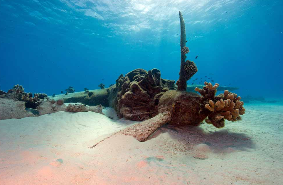
McKinnon has led and facilitated numerous other research projects in The Marianas, including the creation of the WWII Underwater Maritime Heritage Trail: Battle of Saipan (https://storymaps.arcgis.com/collections/796b9c6078ec45eeb06d3869fb111418).