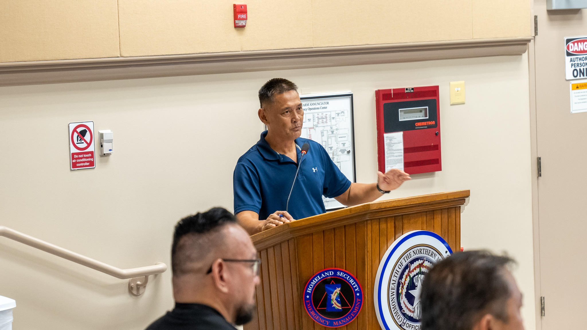


On Sunday morning, Gov. Arnold I. Palacios and Lt. Gov. David M. Apatang, with CNMI Homeland Security and Emergency Management Special Assistant Franklin R. Babauta and members of the CNMI Multi-Agency Coordination Team, composed of government agencies and other organizations including the American Red Cross, met for a heavy-weather briefing provided by the National Weather Service on Guam. The discussion focused on planning and coordination activities in anticipation of Mawar, which was categorized as a tropical storm but was intensifying.
(MV) — Based on information from the National Weather Service on Guam, as of 10 p.m. Sunday, Tropical Storm Mawar was about 440 miles south-southeast of Guam; about 470 miles south-southeast of Rota; about 515 miles south-southeast of Tinian; and about 520 miles south-southeast of Saipan.
The NWS said Mawar was moving north-northwest at 10 mph and was expected to maintain this general course with a slight decrease in forward speed over the next 24 hours.
Maximum sustained winds had increased to 70 mph, and Mawar was forecast to intensify over the next few days, possibly becoming a typhoon later Sunday evening or early Monday morning, the NWS said.
It added that tropical storm force winds extended outward from the center up to 85 miles.
At 10:45 Sunday evening, the NWS said Tropical Storm Mawar was southeast of the Marianas and approaching slowly.
“Moderate trade winds and combined seas of 4 to 7 ft will persist through Monday morning. Conditions are expected to deteriorate dramatically beginning as early as Monday night. Hazardous marine conditions are expected Monday afternoon, becoming dangerous for small craft by Tuesday evening.”
Because of the anticipated threat of Mawar, Gov. Arnold I. Palacios maintained Typhoon Condition III for Saipan, Tinian, and Rota.
According to the governor’s office, Typhoon Condition III means that damaging winds of 39 mph or more are possible today, Monday, and typhoon force winds of 74 mph or greater are possible Monday night through Wednesday.
Also on Sunday, the CNMI Emergency Operations Center-State Warning Point said that a flood watch is in effect from Monday afternoon through Thursday afternoon.
“Flash flooding caused by excessive rainfall is possible on Saipan, Tinian and Rota,” it added.
PSS suspends classes
In a memorandum Sunday, Education Commissioner Alfred B. Ada said “all PSS classes on Saipan, Tinian, and Rota, including Head Start/Early Head Start and Early Intervention programs, are cancelled…Monday, May 22, 2023, and Tuesday, May 23, 2023, until further notice. All PSS school and Central Office employees, except 190-day contracted employees, must still report to work…Monday, May 22, 2023, until further notice.”
MCS announcement
Mount Carmel School, for its part, said it will continue with classes on Monday, May 22, 2023.
However, as it states in the school’s handbook, “If the Governor declares ‘Condition 2’ for a typhoon/tropical storm, all classes will be canceled….”
Shelter activation
The governor’s office said shelters will be activated when Typhoon Condition II is declared, which was anticipated in the next 24 hours.
If and when Typhoon Condition II is declared, the following shelters will be activated:
Marianas High School (Cafeteria)
Koblerville Elementary School (Cafeteria)
Kagman High School (Cafeteria)
Tinian: Tinian Elementary School (Cafeteria)
Rota: Office on Aging
COTA transportation
The governor’s office said the Commonwealth Office of Transit Authority is running on its regular service until Typhoon Condition II is declared. If and when Typhoon Condition II is declared, COTA will be activated to provide transportation to the shelters.
Residents who need transport services can contact these telephone numbers for transportation assistance:
Saipan – EOC State Warning Point: (670) 237-8000
Tinian – COTA: (670) 433-0011
PSS Tinian – (670) 783-8962
Tinian Municipality Operation Center – (670) 483-1800
CHCC ER remains open
The Commonwealth Healthcare Corp.’s emergency room remains open.
For more information, CHCC is encouraging the community to call the ER at (670) 234-8950 or, in case of an emergency, call 911.
CHCC Press Information Officer Lee Tenorio said all updates will be posted on their Facebook account: https://www.facebook.com/cnmichcc
United Airlines
United Airlines said its flights will operate as scheduled on Monday, May 22, 2023, and the United City Ticket Office will be open from 9 a.m. to 5 p.m. United customers who are scheduled to depart on May 23 and May 24 are encouraged to check united.com or the United app for the most current flight information as a result of Mawar.
Rota prepares for Mawar
Rota residents and government officials were preparing for Mawar and were in constant communication with the central government and its agencies, Rota Mayor Aubry Hocog told Variety Sunday.
“We have gotten organized already in terms of planning and getting things ready to assist the community. The shelters are in place, transportation with shift schedule and drivers are in place,” she said.
She said a command center has been organized and they are also drawing up a list to identify all their needs.
Moreover, a generator for the Rota Health Center is being prepared in case Mawar causes power and water outages on island.
“Governor Palacios and CNMI Homeland Security have been very helpful. We have been in communication since [Saturday] in regards to how we will be ready to assist our people,” the mayor said.
She said the governor has been very concerned for Rota and expressed his desire to help with whatever resources the island will need.
“Our command team are on standby and will await further updates from the governor’s office and CNMI Homeland Security. We encourage our people to prepare themselves by securing their items around their homes, stocking up on needed food and necessities, water, fuel, etc. and to standby for further official updates,” the mayor said.
Mawar could pass by between Guam and Rota on Tuesday evening with damaging winds of as high as 100 mph.
Be ready
CNMI residents are advised to take the following preparatory measures:
• Gas your vehicles and obtain fuel for your generators.
• Secure loose debris and belongings around your household or yard.
• Those living in flood-prone areas should clear drainage areas and unblock storm drains to minimize flooding.
• Secure important documents such as birth certificates, tax papers, and insurance documents, and keep copies in a weather-proof bag.
• Prepare to board up windows or close shutters.
• Have a prepared emergency preparedness kit with first-aid kits, batteries, flashlights, toiletries, and a portable stove in your household.
• Stock up on food and water, as appropriate, for your household.
Stay up to date with the latest information from the National Weather Service, CNMI Homeland Security and Emergency Management and other official sources.
For updates, visit the following:
• CNMI EOC State Warning Point Facebook: https://www.facebook.com/cnmieocswp
• CNMI Office of the Governor Website: https://governor.gov.mp
• CNMI Office of the Governor Facebook: https://www.facebookcom/cnmigovernor
• NWS Website: https://www.weather.gov/gum
• NWS Facebook: https://www.facebook.com/NWSGuam
• Joint Typhoon Warning Center Website: https://www.metoc.navy.mil/jtwc/jtwc.html
With Richelle Ann Agpoon