


RESIDENTS of low-lying areas on Saipan, Tinian, and Rota evacuated to higher ground on Wednesday following the CNMI government’s tsunami advisory, which was issued in response to an 8.0-magnitude earthquake off the east coast of Kamchatka, Russia.
At 7 p.m. Wednesday, the Office of Homeland Security and Emergency Management announced that the tsunami advisory had been canceled. An “All Clear” was declared for Saipan, Tinian, and Rota, but a rip current advisory remained in effect.
An earlier advisory included estimated arrival times for the first wave: 2:37 p.m. on Saipan, 2:47 p.m. on Tinian, and 2:49 p.m. on Rota.
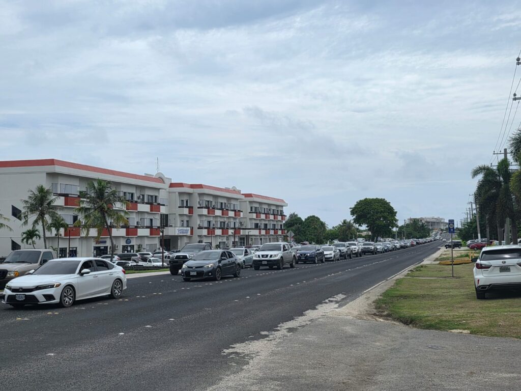
By the time Homeland Security and Emergency Management issued the advisory on evacuation routes and assembly areas, traffic congestion had already started to build along Saipan’s major thoroughfares as residents rushed to safer ground.
As early as 10 a.m., when the tsunami warning was first issued, long lines of vehicles were already seen at gas stations.
Government agencies also began sending staff home.
At 12:30 noon, Gov. David Apatang announced the closure of government offices on Saipan, Tinian, and Rota.
At the legislative building, acting Senate President Karl King-Nabors and House Speaker Edmund S. Villagomez issued a memorandum allowing Legislative Bureau employees and lawmakers’ staff to leave work.
In its 2 p.m. advisory, HSEM announced the assembly areas and evacuation routes for the CNMI.
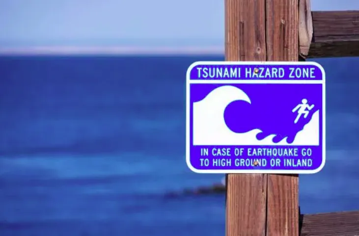
The advisory stated that a tsunami advisory means strong currents and waves dangerous to those in or near the water are possible. Based on available data, HSEM said there was a threat of sea-level fluctuations and strong ocean currents hazardous to beaches, harbors, and coastal waters.
The earliest estimated time that hazardous sea-level fluctuations and strong ocean currents could begin in the CNMI was 2:37 p.m. ChST on Wednesday, July 30, 2025.
Evacuation routes and assembly areas were as follows:
- Quartermaster traffic light area to Chalan Kiya Mobil intersection, Susupe, and Oleai: Head to As Terlaje Hill, Dandan, San Vicente, and Airport Road.
- Southern Garapan to Gualo Rai: Head to Garapan Central Park.
- Central Garapan: Head to Chinatown.
- North Garapan: Head to Navy Hill.
- Chalan Piao to San Antonio: Head to Koblerville and the Francisco C. Ada/Saipan International Airport field.
- Chalan Kanoa: Head to As Lito, Finasisu, and As Perdido.
- San Jose Beach Road: Head to As Terlaje.
- Puerto Rico: Head to Navy Hill.
- Tanapag and Lower Base: Head to Capital Hill.
- Kagman: Head to the Kagman Community Center.
- San Jose, Tinian: Head to the track and field.
- Songsong, Rota: Head to Taimama, Sinapalo, and Ka’an villages.
Nel Mercado, a rent-a-car employee and longtime Saipan resident of 30 years, said this was the third time he had experienced a tsunami evacuation. “The first time, I rushed to Mount Tapochao. The second time, I evacuated to the airport field, and this time, I went up to Capital Hill,” he said.
Mercado added that in past evacuations, “there wasn’t really a tsunami impact to worry about,” but he complied with the latest advisory because “everybody was told to do so.”
With him were visitors from the Philippines, including Richard Lagado and his family. Lagado said it was his first experience being evacuated for a tsunami.
Saipan and the rest of the Northern Marianas have recorded relatively small tsunami events — such as a 3.5-foot (about 1-meter) wave from the 2011 Japan tsunami — with no significant historical record of severe destruction from tsunamis. Most events have been minor or non-destructive in recent history.
According to online sources, Saipan, in particular, benefits from higher elevation and fringing reefs, which can reduce the energy and height of incoming tsunami waves compared to very low-lying islands.
However, experts also say that the possibility of a significant event remains, especially from large, distant Pacific earthquakes.
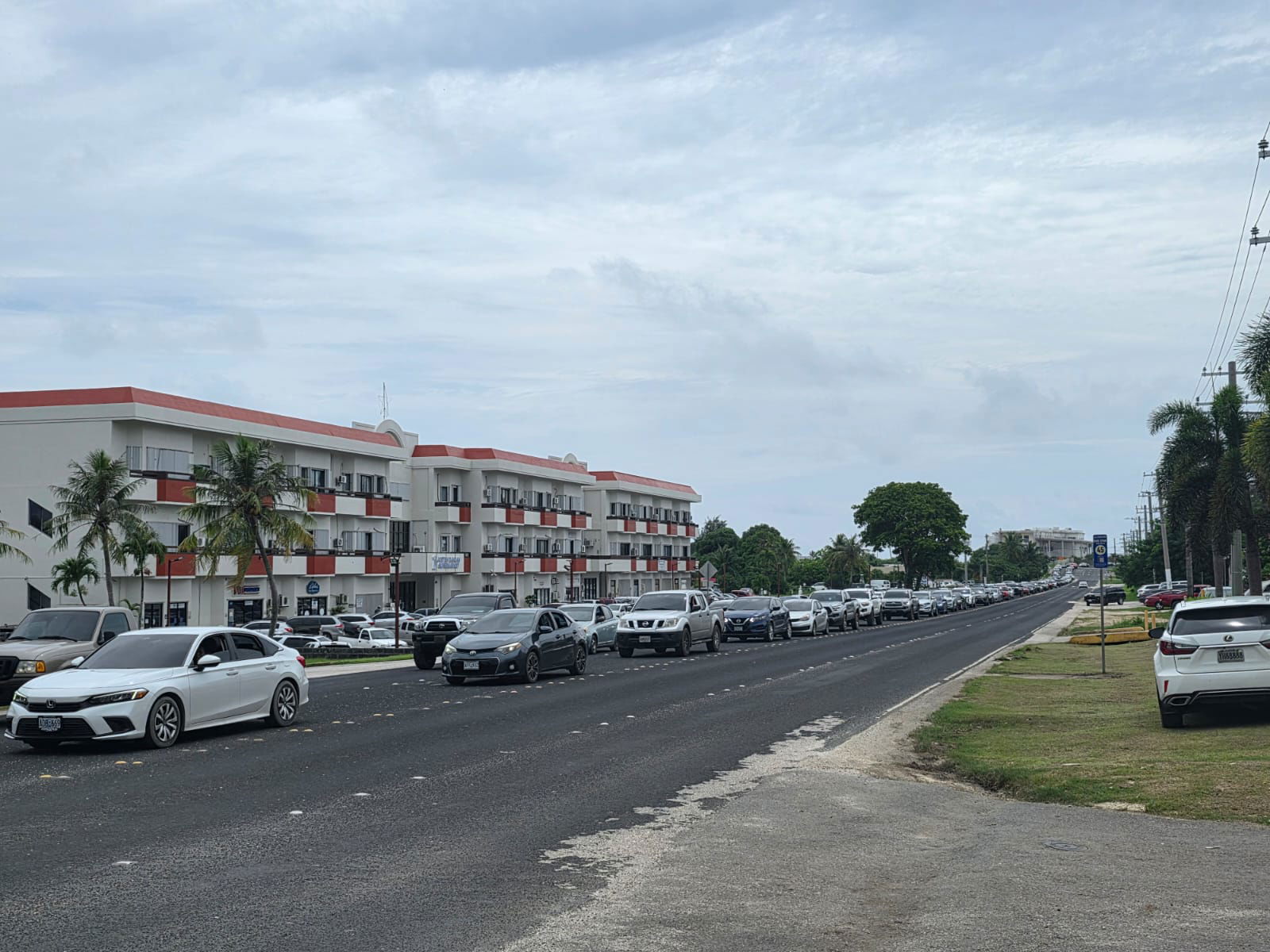
Vehicles head to higher ground on Isa Drive around 2 p.m. Wednesday.
Photo by Bryan Manabat
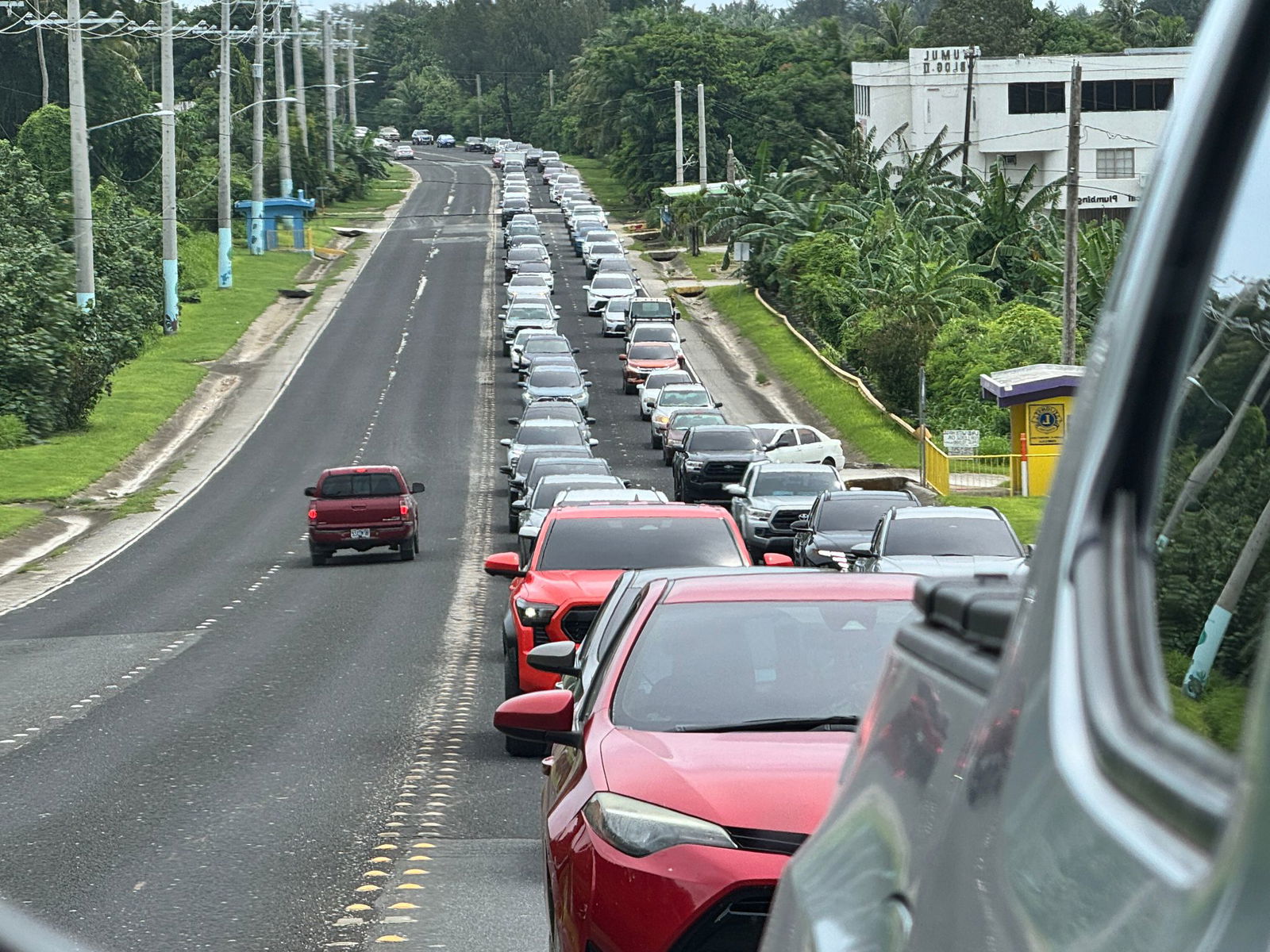
At 2:06 p.m. Wednesday, a reverse mirror photo captures vehicles making their way up As Terlaje Hill.
Contributed photo

The Beach Road area in Chalan Kanoa appeared deserted around 2 p.m. Wednesday.
Photo by Bryan Manabat

Nel Mercado and Richard Lagado sit under a tree on Capital Hill, where they evacuated for safety on Wednesday.
Photo by Emmanuel T. Erediano

Vehicles line up at the Mobil Oil gas station in Sadog Tasi following Wednesday’s tsunami advisory.
Photo by Emmanuel T. Erediano
As of 2:23 p.m. Wednesday, cautious residents sought higher ground at Airport Field.