


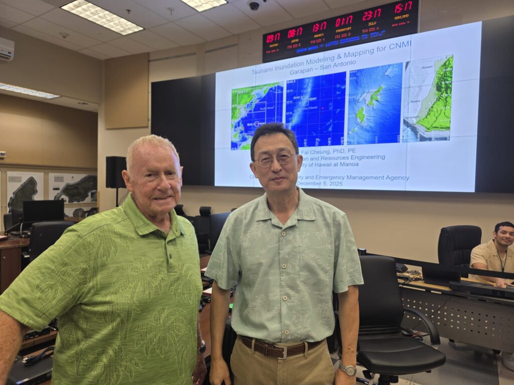
New tsunami inundation maps for Saipan’s southern coastline indicate that the island’s western shores are more exposed to tsunami risk than previously believed, according to Dr. Kwok Fai Cheung, professor of ocean and resources engineering at the University of Hawaii.
On Dec. 5, the CNMI Homeland Security and Emergency Management on Capitol Hill hosted a presentation by Dr. Cheung, attended by emergency preparedness stakeholders: the Department of Fire and Emergency Medical Services, Department of Public Safety, Saipan Mayor’s Office, Public School System, and private business representatives.
Dr. Cheung was joined by consultant Chip Guard, a former Warning Coordination Meteorologist at the National Weather Service in Guam.
Dr. Cheung noted the Mariana Trench is a primary source of tsunami activity in the region, and contrary to popular belief, it does not shield the islands. “The Mariana Trench kind of makes a tsunami more severe for the islands,” he said. “As the tsunami propagates toward the island, the energy gets compressed, and the wave height increases.”
Scenarios
Worst-case modeling shows waves reaching up to 50 feet, triggered by earthquakes of magnitude 8.3, a level consistent with historical seismic activity in the Pacific. With the trench’s proximity, residents might have as little as 10 minutes to respond. “A tsunami would get to the location within maybe 10 to 15 minutes,” Cheung said. “The advice is to respond immediately. Don’t wait for instructions for evacuation.”
Dr. Cheung said Saipan’s western side, with flatter terrain and gentler slopes, is most vulnerable. He urged residents to reach higher ground—at least 50 feet above sea level—after strong earthquakes lasting more than 30 seconds. The eastern side, with cliffs and elevated terrain, is expected to face less severe impacts.
The presentation dispelled myths about natural protections. “The reef would protect the community from hurricane waves … but a tsunami has a period of 10 to 15 minutes. The reef will just direct the flow up and amplify the energy.” Dr. Cheung added, “Mangroves offer little defense unless they cover vast coastal areas.”
He pointed to lessons from past disasters, including the 2009 tsunami that struck American Samoa and Independent Samoa, killing nearly 200 people. “These are myths that they were saying in American Samoa in 2009. … September 29, 2009, they got hit by a destructive tsunami, killing 34 people in American Samoa and 159 in Independent Samoa. So they take this very seriously.”
Dr. Cheung stressed Saipan is not at risk of being completely submerged, but parts of the island could face severe flooding during a major tsunami.
Awareness
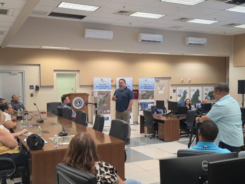
HSEM public information officer Bernard Villagomez said the annual tsunami training is designed to share the latest scientific findings with the community.
“Dr. Cheung and Chip Guard have come up with new models for the tsunami inundation zones for the CNMI,” Villagomez said. “Based off their new data, they’ve presented what they’ve found, and used different magnitude earthquake scenarios to create models that show what residents could experience.”
Villagomez said the Emergency Operations Center will use the data to strengthen preparedness. “Once they create all of their data from this study, we can use that to create accurate inundation zones and evacuation zones,” he said. Most project funding comes from the National Tsunami Hazard Mitigation Program.
Villagomez noted the importance of involving government and private sector partners. “At the end of the day if there’s a tsunami, we’re all affected. … This is a really good starting point to roll out our new data and findings so everyone’s aware of the effects of a potential mega tsunami.”
Villagomez urged residents to rely on official sources for information. “In the event of a tsunami, the Homeland Security and Emergency Management, alongside the Office of the Governor and our other partners, are the main sources of information people should be getting,” he said.
By Bryan Manabat Variety News Staff