


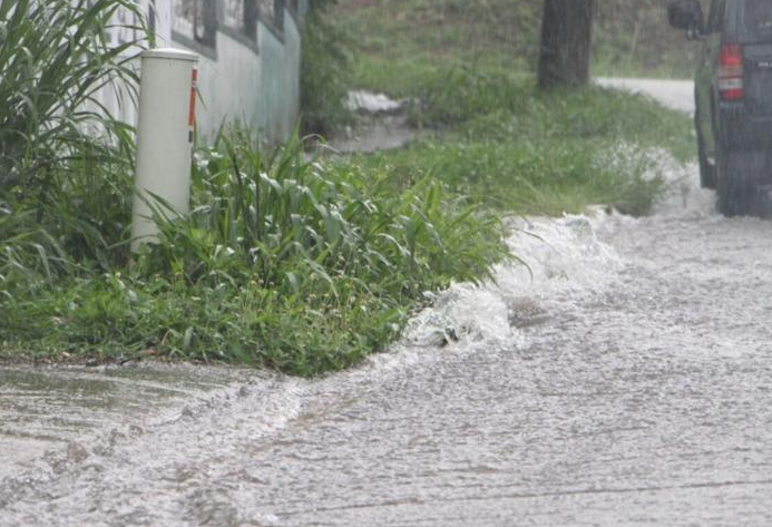

Heavy rain floods a street in Santa Rita-Sumai, Guam on Wednesday.
Photo by Jonah Benavente/The Guam Daily Post
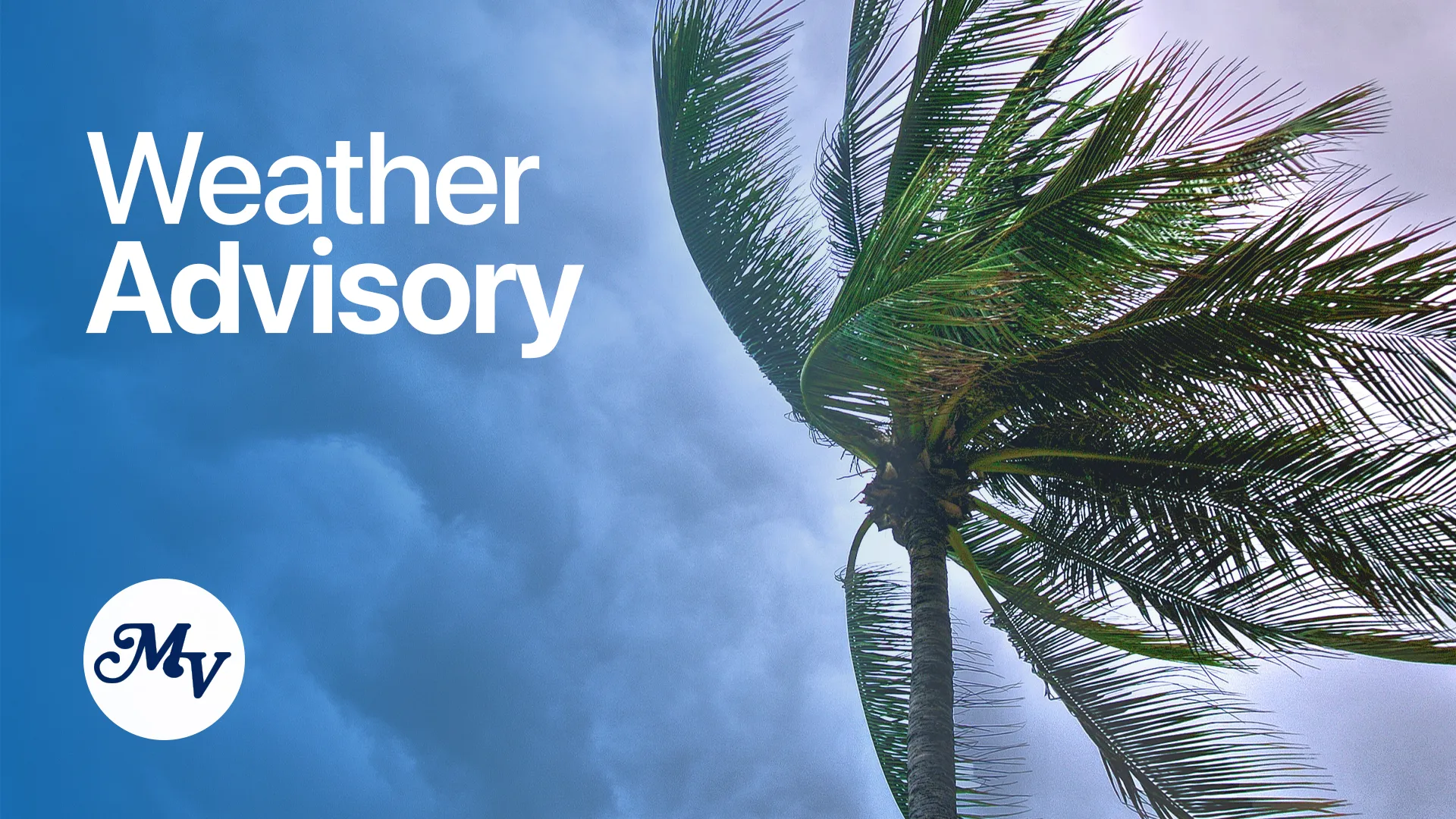
HAGÅTÑA (The Guam Daily Post) — The Mariana Islands are experiencing an accelerated transition from the dry season to the wet season this week, with meteorologists warning residents to prepare for a more active weather pattern that includes thunderstorms, heavier rainfall and potential flooding.
According to warning coordination meteorologist Landon Aydlett at the National Weather Service Weather Forecast Office Guam, the region is entering what meteorologists call a tropical upper tropospheric trough, or “TUTT season,” a period when tropical upper-tropospheric troughs create more dynamic weather conditions between May and September.
“We’re in that transition period that we’ve been kind of communicating for several weeks now. It’s been a very slow and sluggish transition for a while until now,” Aydlett told The Guam Daily Post. “We have a couple of dynamics in play.”
According to Aydlett, the weather shift is being driven by surface troughs moving through the islands combined with an active upper-level atmosphere. When these upper-level disturbances interact with surface weather features, they can produce significant rainfall potential across the region.
“When you have this upper-level dynamic in place with the surface features, we can get some significant rainfall potential,” Aydlett said. “So that’s where we are this week. We have a lot more showers across the region.”
Residents can expect a pattern of episodic weather rather than continuous downpours. The forecast calls for brief heavy showers followed by periods of sunshine, with isolated thunderstorms possible through the weekend.
“Not so much a deluge. We’re not expecting a day-long downpour of showers and thunderstorms,” Aydlett said. “But it’s more of an episodic, with brief heavy showers and then spurts of sunshine.”
The timing of this transition is critical for Guam, which is currently experiencing extreme drought conditions. The U.S. Drought Monitor has classified the island as D3 extreme drought, just one level below the worst classification of exceptional drought, said Aydlett.
“We are at peak conditions and things will start to improve in those regards,” he said, noting that every shower will be useful in addressing wildfire threats and lingering drought conditions.
However, the changing weather pattern brings new risks. Lightning safety becomes a primary concern as thunderstorms return to the region after months of dry conditions.
“When thunder roars, get indoors,” Aydlett warned. “When you hear thunder, you’re at risk of being struck by lightning. Tents, canopies and tarps are not safe places in a thunderstorm. You have to be in a hardened, enclosed structure.”
The meteorologist also spoke about flash flooding potential if significant rainfall develops and storms remain stationary over particular areas.
Looking ahead, the National Weather Service has released its Tropical Cyclone Outlook for the U.S. Affiliated Pacific Islands, predicting near-normal activity for the Guam and Commonwealth of the Northern Mariana Islands region during the upcoming typhoon season.
“We are looking at near normal activity for the Guam and CNMI region. And so we’re anticipating three to five tropical cyclones,” Aydlett said. “And of those three to five, one to three of them could be of typhoon intensity.”
The forecast is based on current ENSO-neutral conditions, following the end of a weak La Niña pattern late last year. ENSO refers to the El Niño-Southern Oscillation, a climate pattern that significantly influences Pacific weather.
“ENSO neutral is favored by the climate researchers and the Climate Prediction Center to continue through the summer months,” Aydlett said, noting it’s likely to continue into fall with a possibility of returning to La Niña conditions by year’s end.
The recent La Niña pattern contributed to elevated sea levels across the western North Pacific, with changes between El Niño and La Niña years potentially causing sea level fluctuations of up to two feet.
“Sea levels during El Niños drop across the region, which aren’t necessarily so bad, but it is bad for the coral,” Aydlett said. “Now, with the La Niña pattern, sea levels rise quite a bit across the region.”
Weather conditions will also affect maritime activities in the region. The monsoon pattern is expected to strengthen near Palau and Yap this weekend, potentially bringing stronger southwest winds and choppy conditions.
For boaters, Aydlett stressed the importance of safety equipment, particularly GPS tracking devices and emergency position-indicating radio beacons.
“Accidents and problems can happen in a moment’s notice. And you’re either ready or you’re not,” he said. “These GPS trackers, these EPIRBs, they are lifesavers.”
Aydlett encouraged residents to stay informed through the National Weather Service website at weather.gov/GUM and the agency’s Facebook page.
“I always ask people if you have any questions or confusion or concerns about our weather information or weather conditions, send us a message,” he said. “We’re happy to reach out and talk to people and answer questions.”
The meteorologist emphasized that while the seasonal outlook provides general expectations, weather conditions can vary significantly day to day.
“Weather is the five- to seven-day thing. And we can get those weather impacts despite the climate pattern,” Aydlett said. “We always have to be ready for whatever happens in the next five to seven days.”