


HAGÅTÑA (The Guam Daily Post) — The National Weather Service is watching a dynamic situation play out across the Mariana Islands and a lot of it has to do with Tropical Disturbance Invest 90W which has brought showers and thunderstorms.
“That circulation has been around the area for several days now, pushing off slowly towards the west. But it’s not going to be going any time soon, it’s just going to be sticking in place for a couple days, so that’s going to really drive up the weather across the region primarily showers, thunderstorms and some gusty wind potential through the weekend,” NWS Chief Meteorologist Landon Aydlett told The Guam Daily Post on Saturday.
“We are going to see some peeks of sun from time to time. I am looking at the satellite right now and it’s very much overcast across much of the region with the heaviest weather just to our west and to the north over Rota, Tinian and Saipan. But we still have clusters of weather over us,” Aydlett said.
With this in mind, Aydlett said that wetter weather is ahead for much of the coming week.
“With periods of showers and thunderstorms, but we will see peeks of sunshine from time to time. But some dry days doesn’t look like it’s going to be any time at least until midweek,” Aydlett said.
The weather seen on Saturday did warrant a flood advisory and small craft advisory to be issued.
“The small craft advisory issued a couple of hours ago, that’s from the stronger gusty winds and we could see some higher wind gusts up to 30 knots out in the water …. So there’s concerns and also a lot of chop out there not a lot of swells. It’s not a good weekend to be out in the water especially in the south and west of Guam,” Aydlett said.
While Invest 90W doesn’t look like it will develop into anything stronger while it is in the Guam area, the NWS still stands by it’s climate predictions made earlier this year which has Guam potentially seeing three to five tropical depressions and cyclones before the year is out.
“We are going to be assessing the monthly climate next Friday. We are going to be discussing the ENSO cycle trends but we are not in a hurry to put out a revised update at this time, we’ve had quite a bit of activity across the region,” Aydlett said.
In the last couple of weeks an elevated monsoon trough led to the NWS tracking Tropical Cyclones 8W, 9W, 10W, 11W and 12W developing “all in our neck of the woods.”
“Once we move later into the year, that would be October and possibly November we could see activity dropping more eastwards and southwards, that’s what we are most concerned about because more notorious tropical cyclones happen around November, December,” Aydlett said.
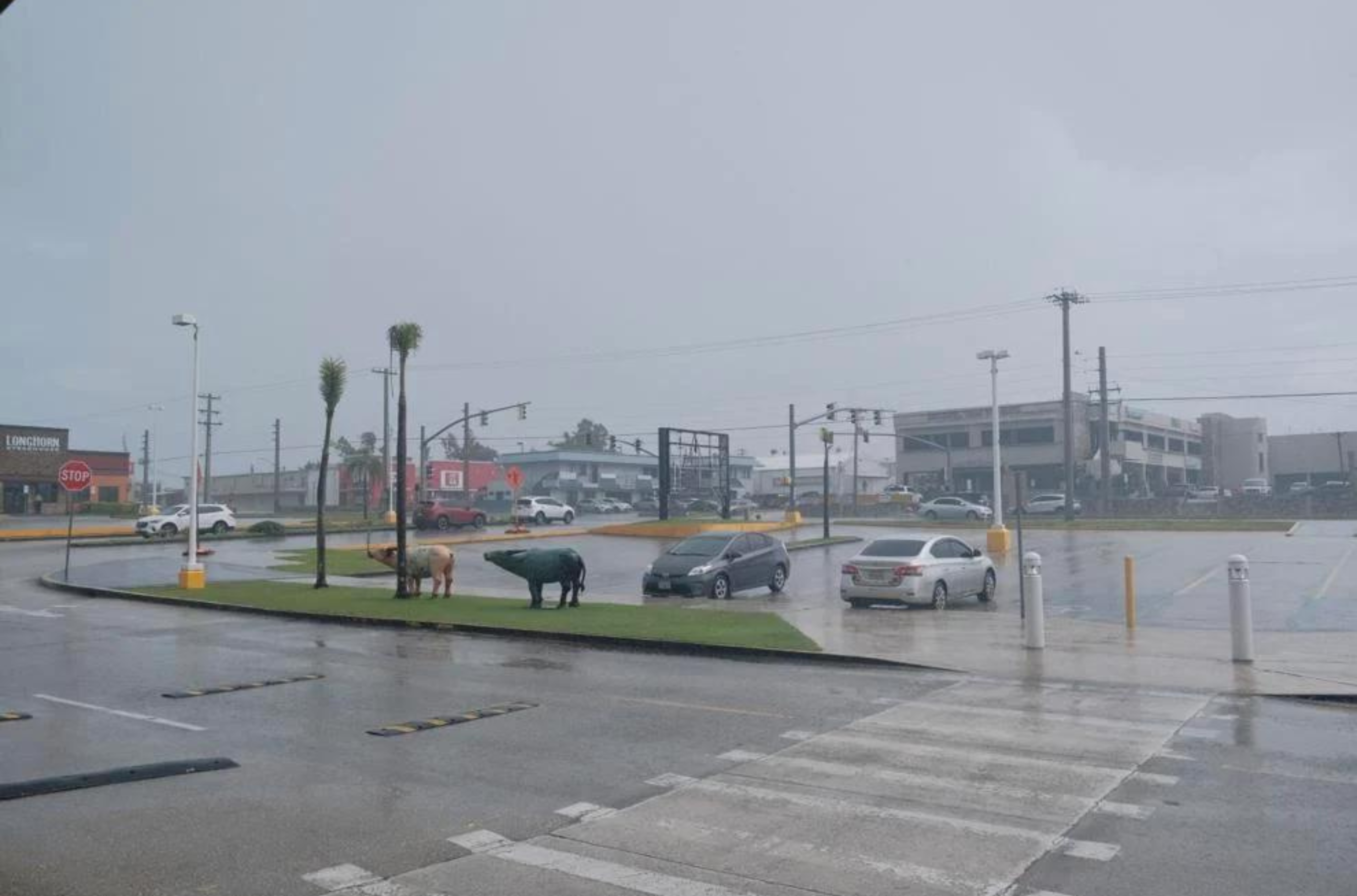
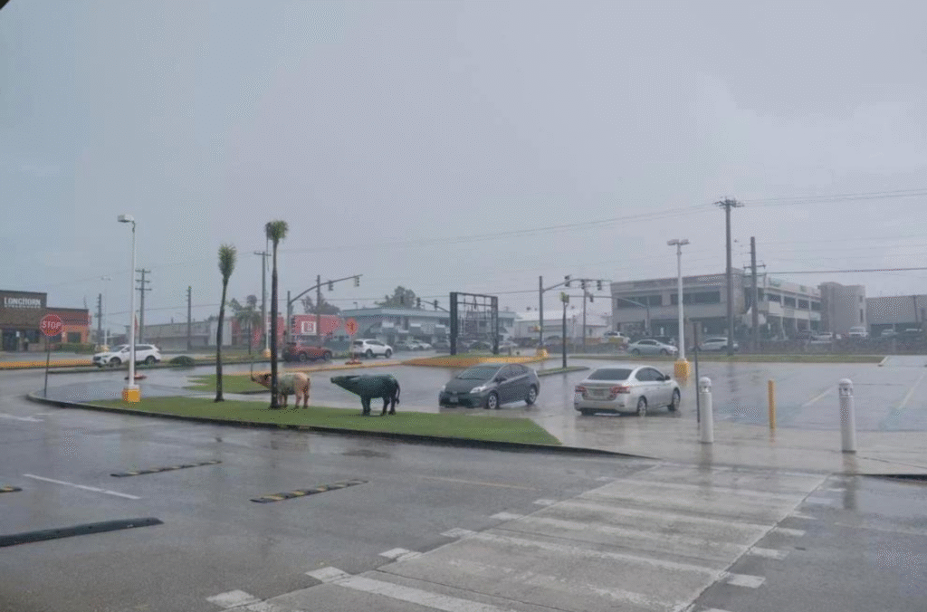
A rain shower hits Tamuning on Saturday, Sept. 9, 2023.