


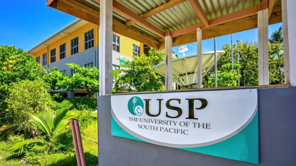
(Press Release) — The 2025 Pacific Islands GIS and Remote Sensing User Conference, to be held Nov. 24-27 at the University of the South Pacific in Suva, Fiji is bringing together about 300 scientists, companies, policymakers and regional users, creating a crucial hub for regional growth.
The annual event encourages collaboration across disciplines, helping ideas and techniques using satellite data and mapping to support real-time decision making and real-life applications.
Participants will share local research, solutions, and products, raising the region’s profile and attracting investment, talent, and partnerships that strengthen regional resilience.
GIS and remote sensing use maps and satellite data to monitor health, water, crops, disasters, and urban needs. They help forecast floods, track droughts, map disease risk, and plan clinics, schools, and roads. Real-time dashboards and open data support faster, fair decisions that protect vulnerable communities, improve everyday life and ensure that resources reach those who need them most.
By encouraging open data practices, common standards, and working with local stakeholders, the conference improves transparency, data quality, and fair service delivery.
In short, the conference sparks innovation, builds capacity, and fosters inclusive decision-making, contributing to sustainable development and climate adaptation for the region’s communities now and in the future.
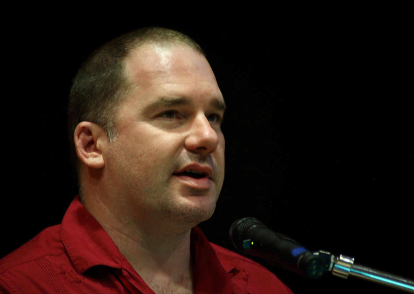
“We are honored to host the event in Fiji, highlighting its commitment to sustainable development and disaster resilience. The conference showcases Pacific expertise, strengthens regional collaborations, geospatial innovation, capacity building, and inclusive planning that benefits communities across the region,” said Pacific GIS and Remote Sensing Council Chairman Bradley Eichelberger.