


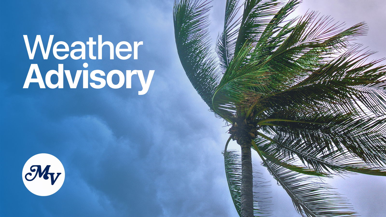
(CNMI Homeland Security and Emergency Management) — A tropical disturbance anticipated to develop later this week is still expected to bring widespread showers from as early as Thursday evening through Sunday, some of which could be heavy.
A surface trough approaching from Chuuk is expected to link with the monsoon trough over the Philippine Sea in the coming days. A circulation is expected to develop Thursday or Friday and help focus heavier showers over the Marianas.
Though there is still significant uncertainty on the location and timing of the disturbance, the common theme is the increasing likelihood for heavier showers that could result in flash flooding.
Through Sunday night, Guam and the CNMI could see rainfall amounts of 5 to 10 inches. This type of rainfall would be supportive of minor flooding across the islands, but the concern is for the threat of heavier showers resulting in flash flooding.
Residents in the Marianas should continue closely monitoring this developing situation as flood watches, advisories and warnings could be issued later.
If living near streams and rivers, consider moving items away from stream and river banks. Ensure storm drains are not clogged, especially in low-lying areas.
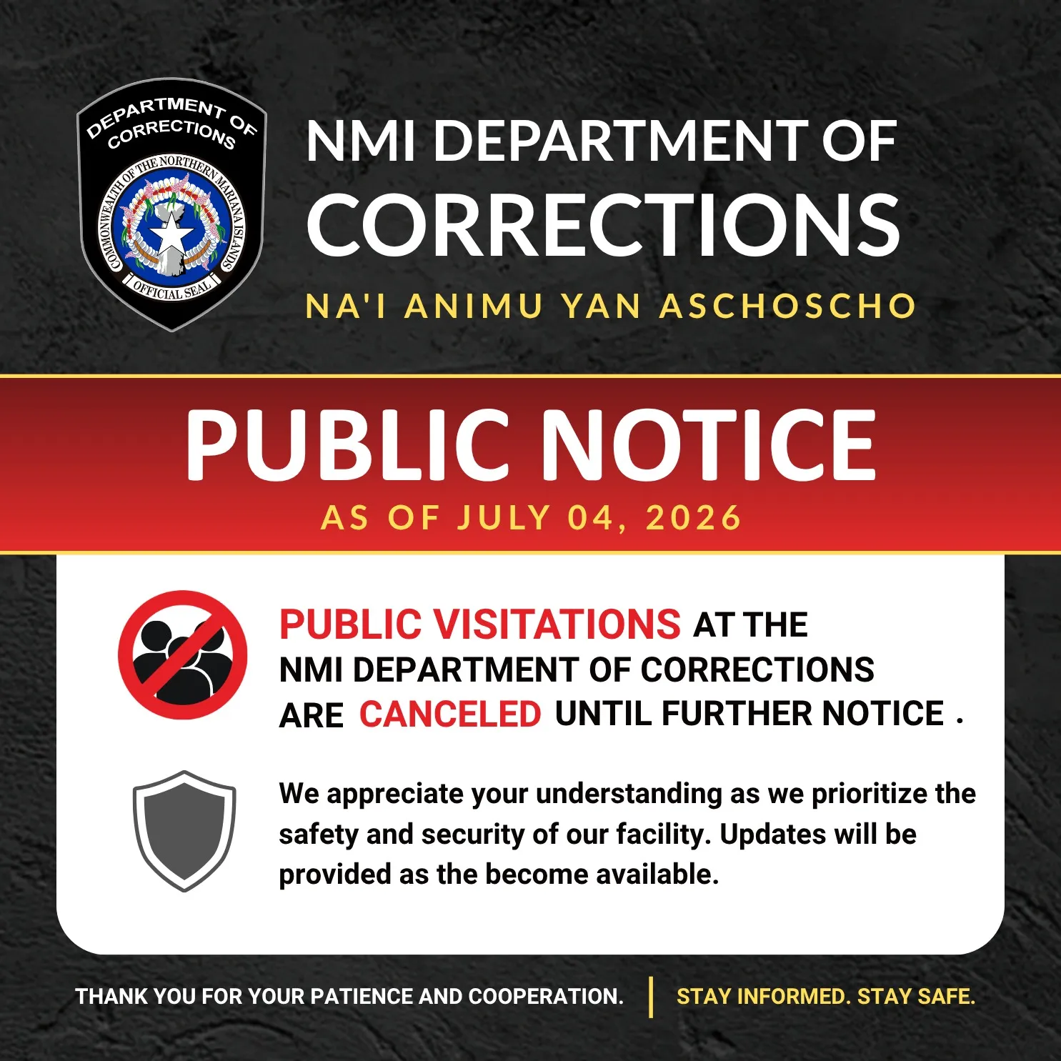
Acting Gov. David M. Apatang is advising the general public that localized flooding will be possible in low-lying and poor drainage areas. Ensure nearby storm drains are not clogged, especially for low-lying or flood-prone areas.