AS of 3 p.m. Sunday, Gov. Arnold I. Palacios, in consultation with the CNMI Homeland Security and Emergency Management and the National Weather Service on Guam, has maintained Typhoon Condition III for Saipan, Tinian, and Rota. Typhoon Condition III means that damaging winds are possible within 48 hours.
Tropical Storm Mawar is intensifying, maintaining a track toward the Marianas, and is anticipated to strengthen and bring typhoon-strength winds and rainfall to the Marianas early this week. Current sustained winds are at 60 MPH.
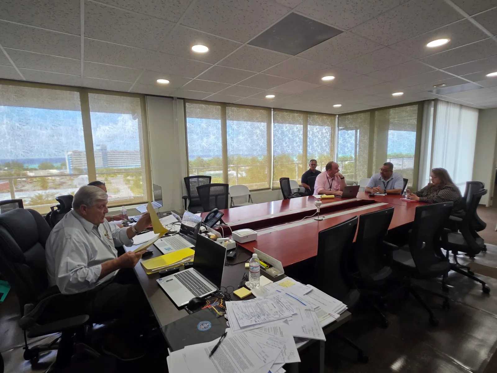
The storm’s movement and strength were discussed during Sunday morning’s CNMI Multi-Agency Coordination or MAC Team meeting. The CNMI MAC Team, composed of government agencies and other organizations including the American Red Cross, met at 10 a.m. for a heavy weather briefing provided by the NWS.
Shelter activation
Shelters will be activated when Typhoon Condition II is declared, which is anticipated in the next 24 hours. However, at the time of this release, the CNMI has maintained Typhoon Condition III. If and when Typhoon Condition II is declared, the following shelters will be activated:
Marianas High School (Cafeteria)
Koblerville Elementary School (Cafeteria)
Kagman High School (Cafeteria)
Tinian: Tinian Elementary School (Cafeteria)
Rota: Office on Aging
COTA transportation
The Commonwealth Office of Transit Authority is running on its regular service until Typhoon Condition II is declared. If and when Typhoon Condition II is declared, COTA will be activated to provide transportation to the shelters. Residents can call the EOC State Warning Point at (670) 237-8000 for transportation to designated shelters
Classes
The continuation or cancelation of classes for educational institutions this week will be announced by the respective institution.
Stay informed
The Office of the Governor advises the community to keep a close watch on official updates relating to weather forecasts and stay informed on the latest statements and advisories which will be available through official channels and media partners.
As mentioned, the storm’s movement, strength, and projected path is an evolving situation. The Office of the Governor and HSEM will be monitoring the movement of Mawar and continue to consult with the National Weather Service and other agencies. Updates will be announced when available and when appropriate.
For additional information, visit the following:
CNMI EOC State Warning Point Facebook: https://www.facebook.com/cnmieocswp
CNMI Office of the Governor Website: https://governor.gov.mp
CNMI Office of the Governor Facebook: https://www.facebookcom/cnmigovernor
NWS Website: https://www.weather.gov/gum
NWS Facebook: https://www.facebook.com/NWSGuam
Joint Typhoon Warning Center Website: https://www.metoc.navy.mil/jtwc/jtwc.html
