


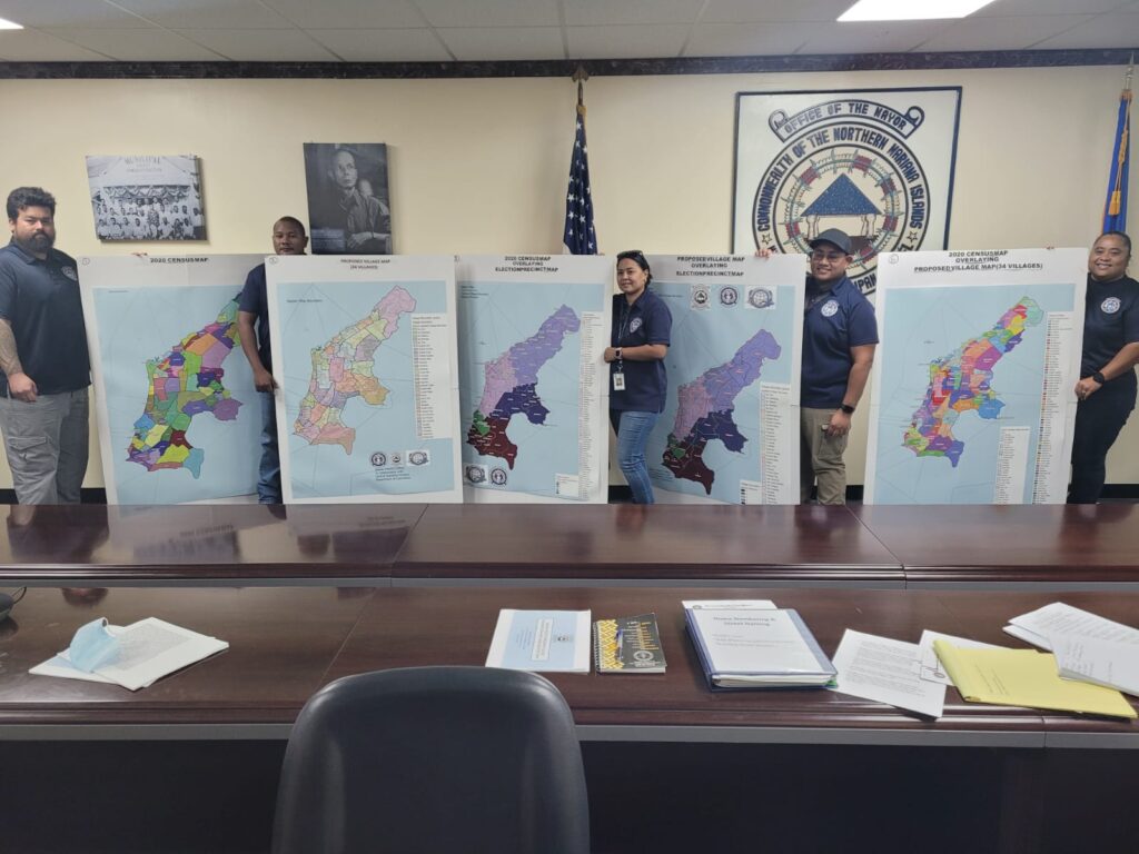
SAIPAN Mayor David M. Apatang and his office staff are assisting the House Committee on Commerce and Tourism in seeking comments from members of the public regarding House Bill 22-82 which proposes an official master map for the island.
Authored by Speaker Edmund S. Villagomez, H.B. 22-82 would adopt the Saipan Village Delimitation and Name Master Map. According to the bill, maps developed other than by the Office of the Mayor of Saipan in coordination with the Department of Commerce-Central Statistics Division shall be considered unofficial.
The villages officially named in H.B. 22-82 are Marpi, As Matuis, San Roque, Tanapag, Wireless, Talofofo, Lower Base, As Mahetog, Sadog Tasi, Puerto Rico, Capital Hill, As Teo, Kagman, Papago, Tapochao, Navy Hill, Garapan, Gualo Rai, l-Liyan, Chalan Laulau, Oleai, Chalan Kiya, Kanat Tabla, San Vicente, Dandan, As Lito, Finasisu, Chalan Kanoa, Chalan Piao, As Perdido, San Antonio, Koblerville, I Naftan and Susupe.
The map that H.B. 22-82 provides does not name the “sub areas” or “sub villages” included in a current Department of Commerce map. These sub areas have unfamiliar names like Banaderu and Sabaneta in Marpi.
Global positioning system coordinates have been utilized to determine the boundary line between villages, the bill’s proponents said.
At a press conference on Thursday, Mayor Apatang said it is very important for the people on Saipan to have a clear boundary line between villages because right now, there are no official boundary lines.
In case of a 911 call, for example, emergency responders must know exactly where to respond.
Another important provision of H.B. 22-82 addresses a situation “where a delimitation line crosses an existing structure that results in one portion of the existing structure to be in one village and the other in another village.” The measure states that “the existing structure shall be recorded as being located in the village where the existing building’s main entrance door that is facing a street is located.”
“For purposes of designating a street address number to an existing structure, the portion of the existing structure where the main entrance door is located and facing a street shall be assigned the street address number for that structure and the structure shall be recorded as being located in the village where the main entrance door to the existing building is located,” the bill stated.
Special Assistant for Saipan Mayor Henry Hofschneider said after Super Typhoon Yutu, a lot of residents requested the mayor’s office to certify their addresses which were needed when applying for federal assistance.
Determining where exactly a resident lives has been a challenge due to the lack of an official boundary line.
Once H.B. 22-82 becomes law, Hofschneider said there would be no more confusion or disagreement regarding boundary lines.
The Saipan Mayor’s Office Saipan Street Naming and Numbering Division staffers involved in determining the boundary lines are Janice Celis, Jaycee Rdialul, Becky Repeki, Atanacio Naputi and Russell San Nicolas.
Apatang said his office is hoping that members of the public will support H.B. 22-82.
“We are pushing for this to be passed so we can finish our home numbering project. We need the public to look at it, make some comments and send it to the [House committee] so they can get this bill going. It is just very important for us,” the mayor said.
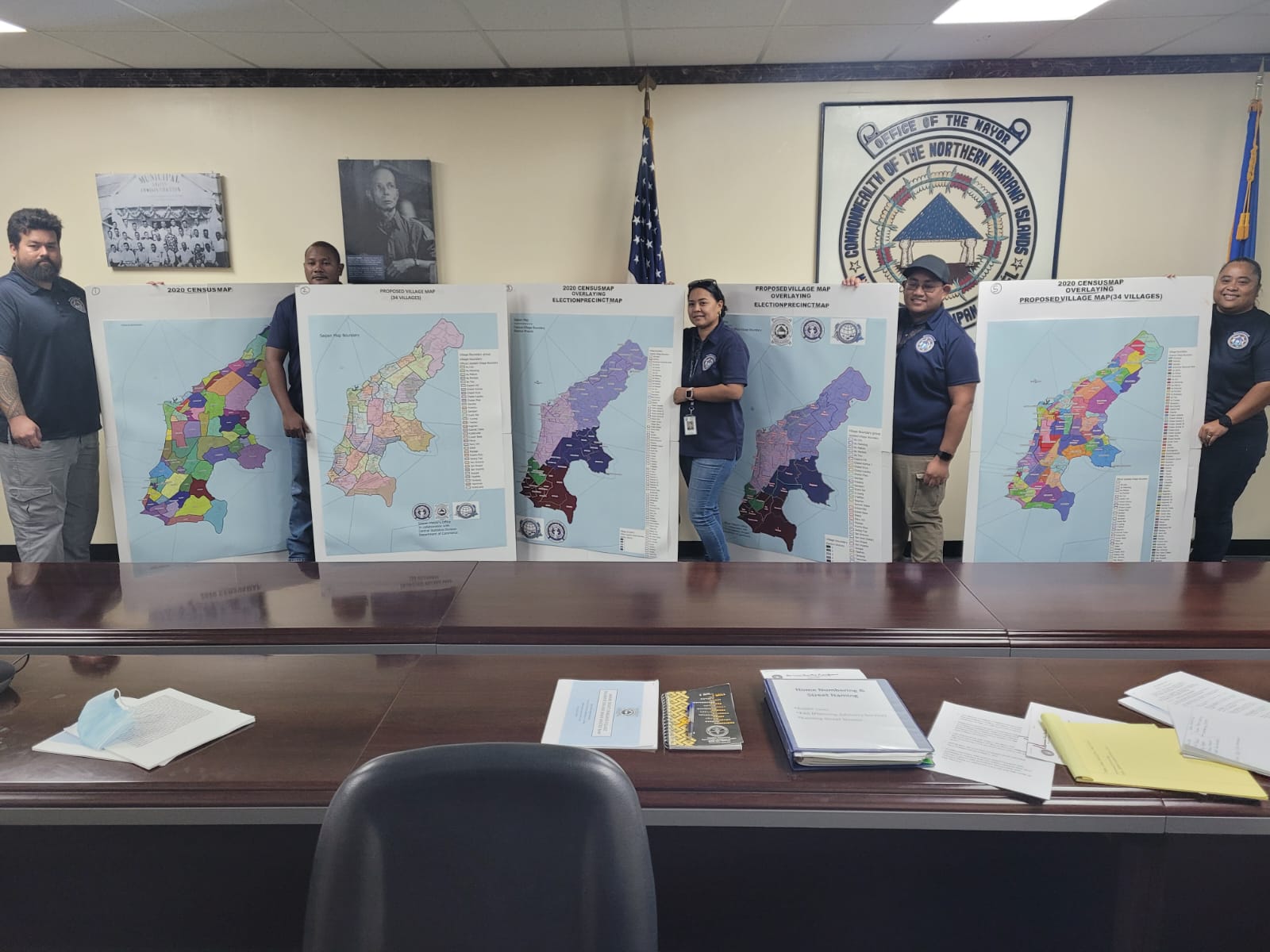
The Saipan mayor’s Street Naming and Numbering Division staffers pose with various maps of the island following a press conference in the mayor’s office on Thursday.