


YOKOHAMA — In Japan’s second largest city, a disaster preparedness center — free and open to the public — continues to make it its mission to not only respond to city disasters, but to share preventive measures to safeguard the lives of residents and visitors alike.
The Yokohama Disaster Risk Reduction Learning Center, established in 1983, offers tours, simulations, and educational videos for people of all ages and backgrounds.
In its disaster mitigation training room, people can enter a room modeled after a typical Japanese home, complete with an entryway, kitchen, living room, and a few steps of a staircase intended to lead to the second floor.
Simulation participants are advised by the center’s trainers to take note of their surroundings, of which disaster preparedness items have been placed in various areas of the home.
A group of visiting journalists from the Caribbean and the Pacific Islands were offered an opportunity to take part in a flood simulation.
The simulation began with a news report on the television set in the living room, in which viewers were informed of a Level 3 advisory, encouraging the vulnerable population, such as the elderly and individuals in flood zones, to evacuate to the nearest designated evacuation site.
The center’s advanced technology projected a video on the living room windows, depicting trees swaying at the will of the turbulent winds, and heavy rains making causing landslides just outside of the home.
The advisory then reached Level 4, strongly encouraging everyone to evacuate.
While the visiting journalists scrambled to obtain various disaster preparedness items, from white hard helmets to food items, and even a pet cat, the home began to flood, preventing them from exiting the premises. They then rushed towards the staircase, in an attempt to reach higher ground.
After the simulation ended, one of the center’s trainers, Nao Omori of the Yokohama Fire Bureau, pointed out that there was a hazard map on the living room wall that would have been helpful in evacuating the premises in a timelier manner. The map showed that the home was in an area that is at high risk of being destroyed in a landslide, a result of heavy rainfall and rough winds.
Had the journalists taken note of this soon after hearing the first advisory that was issued, they would have known how to obtain their emergency items quicker and evacuate to the nearest designated evacuation site.
Omori also showed the journalists an Augmented Reality or AR software portraying the projected flood level in the home as a result of the heavy rainfall and harsh winds.
In a presentation offered by Yokohama General Affairs Bureau–Regional Disaster Prevention Division-Crisis Management Office manager Hiroshi Mizutani and his colleague Misa Hashimoto, it was later learned that these hazard maps are based on data provided by the prefecture.
Mizutani, through an interpreter, said it is the responsibility of each municipality to create its hazard maps, updating them every three to four years in accordance with local law. Should a particular area require an update prior to the mandated deadlines, the entire prefecture receives an update as well.
Last year, informational guides were distributed to every household in Yokohama, of which there are roughly 1.6 million. The guides advise community members to ascertain the dangers of the area they live in, understand weather and evacuation information, learn how to collect needed information, understand evacuation actions, and prepare items to take with them in case of a disaster emergency.
Moreover, the guides provide an evacuation action plan through a Personal Timeline Creation Worksheet, encouraging each person to create their own timeline for typhoons and heavy rains.
A mobile app is now available, providing an online version of this information, as well as an AR software that simulates different disaster scenarios, from heavy rainfall to strong flood currents.
There are 459 evacuation centers in Yokohama. Advisories issued to the general public also provide information on which centers are open in the event of a natural disaster, with the responsibility falling on the locals to ensure that the sites remain operational.
The demonstration center hopes to draw in 50,000 individuals a year, focusing on educating the general public on how to be proactive when disaster strikes.
For more information, visit https://bo-sai.city.yokohama.lg.jp/.
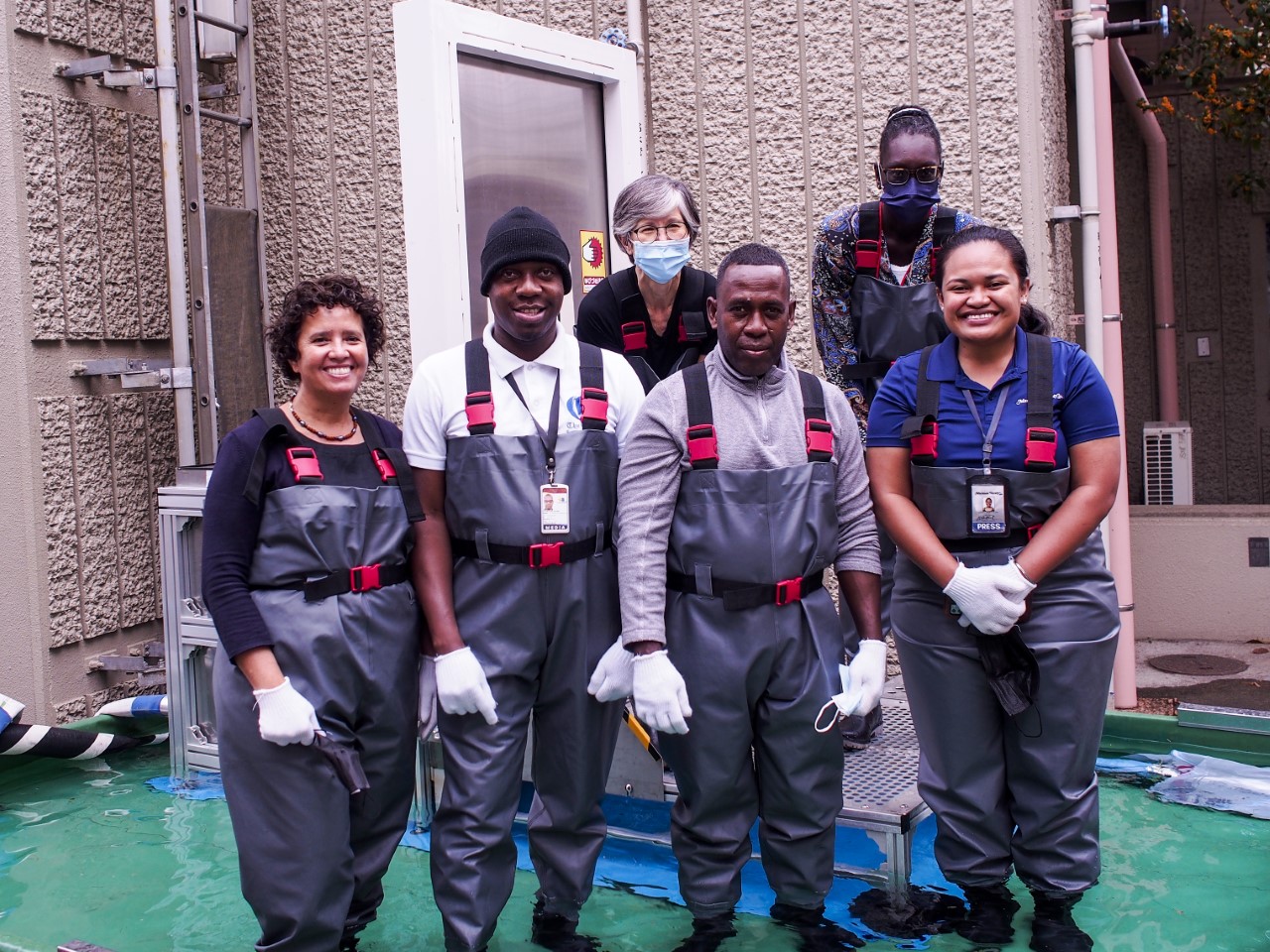
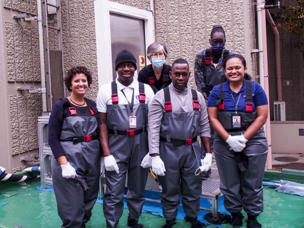
Journalists from the Caribbean and the Pacific Islands, including Variety’s K-Andrea Evarose S. Limol, along with their program coordinator from the U.S., pose for a photo following a flood demonstration at the Yokohama Disaster Risk Reduction Learning Center.