


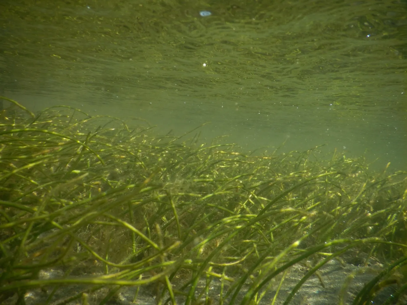
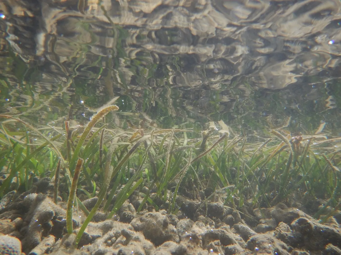
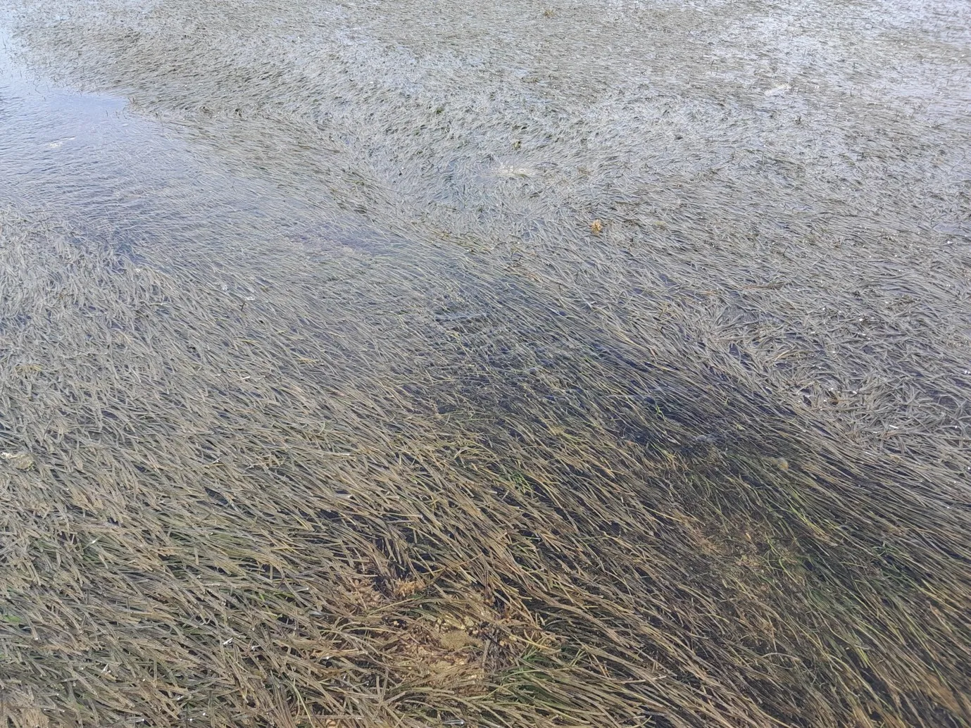
(Pacific GIS and Remote Sensing Council) — Beneath the Pacific Ocean, gardens of seagrass play a critical role in trapping and storing carbon at rates of up to 35 times greater than that of tropical rainforests, a frontline protector from climate change.
According to Raphael Linzatti, GIZ Pacific project director, “Both seagrass and mangroves need to be preserved and protected. They trap carbon, stabilize shores, filter pollutants, protect coral reefs, and provide nursery habitats for fish and other marine life that sustain food security and livelihoods in Pacific nations.”
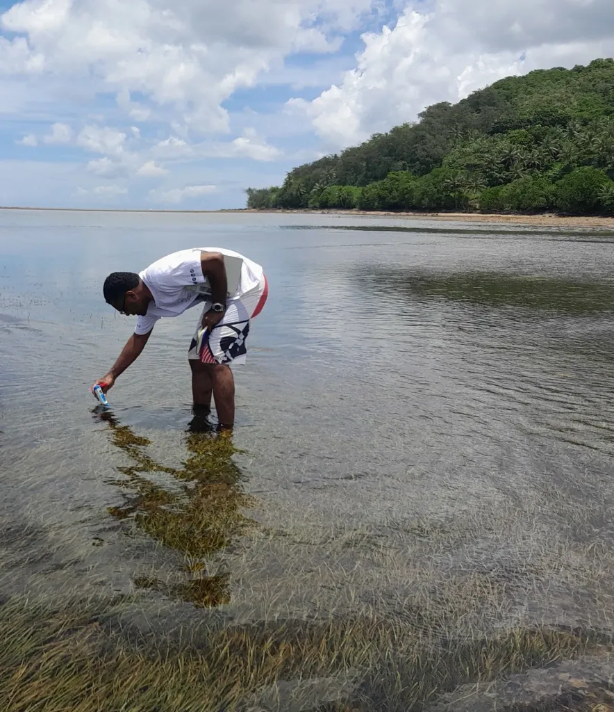
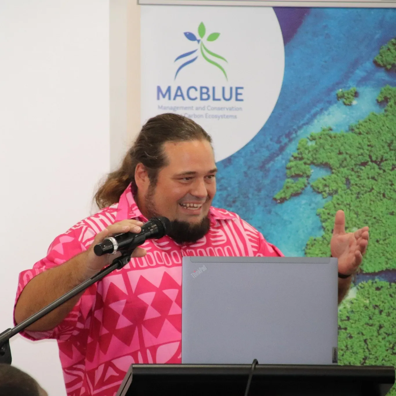
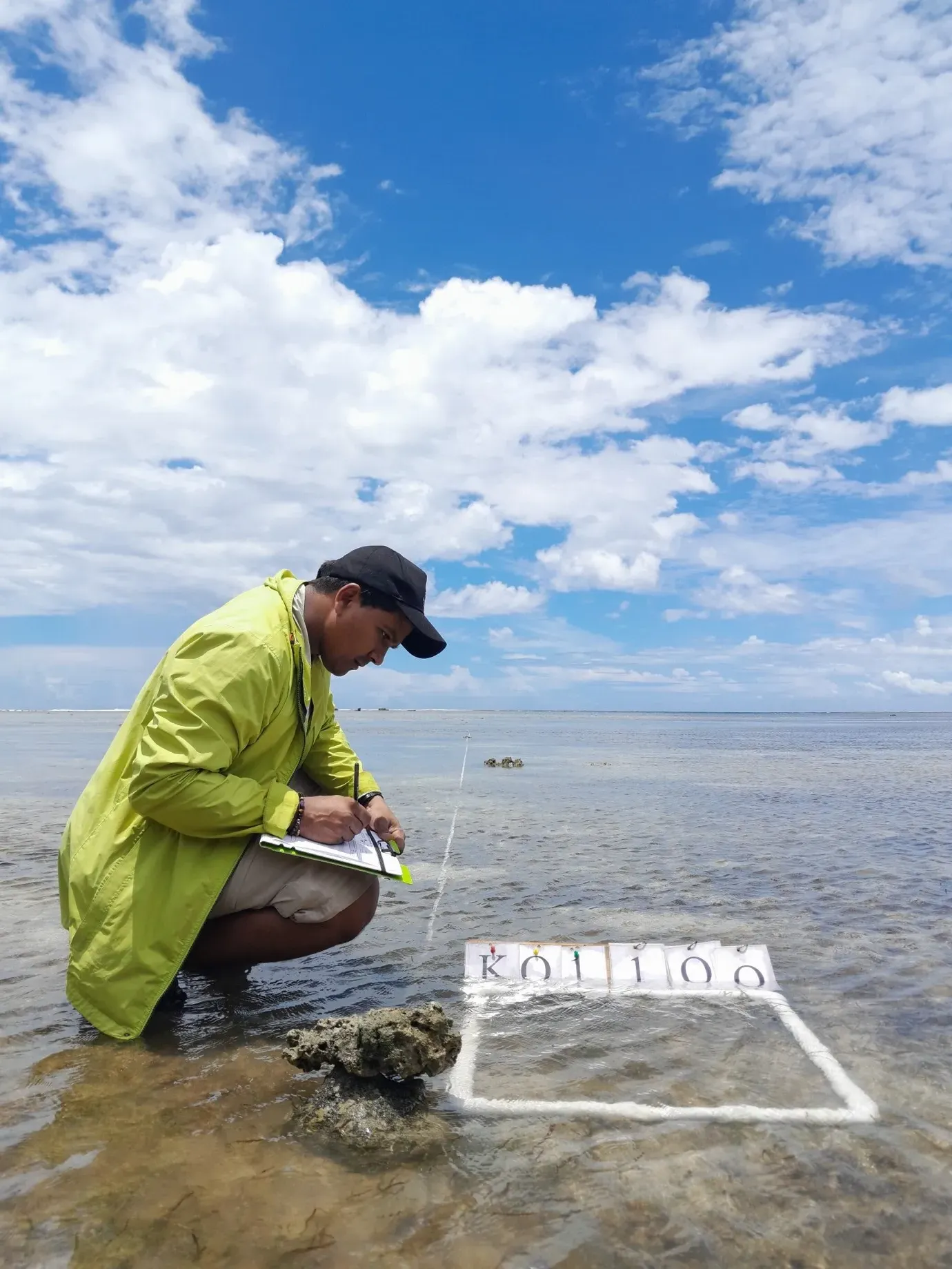
Linzatti and his colleague, GIZ technical officer Shyam Lodhia, have been working with communities in Fiji, Vanuatu, Papua New Guinea and Solomon Islands to raise awareness of the importance of seagrass and mangrove resources as part of the MACBLUE project. The project combined local knowledge with GIS or geographic information systems and satellite imagery to map the seagrass and mangrove resources in the four participating nations. These maps were presented by Lodhia at the recent Pacific Islands GIS and Remote Sensing User Conference in Suva.
The project used the open-source, Digital Earth Pacific platform, developed by the Pacific Community or SPC, where the seagrass and mangrove maps can be freely accessed.
“While the project has strengthened partnerships among governments and regional stakeholders to improve coastal ecosystem management and climate resilience, community stewardship is the key to protecting these ‘blue carbon’ ecosystems, which play such a significant role in the lives of Pacific Island communities,” said Linzatti.
The MACBLUE project was funded by Germany’s Federal Ministry for Environment, Nature Conservation, Nuclear Safety and Consumer Protection through the International Climate Initiative and implemented through the joint partnership between GIZ (Deutsche Gesellschaft für Internationale Zusammenarbeit), SPREP (Secretariat of the Pacific Regional Environment), and SPC.