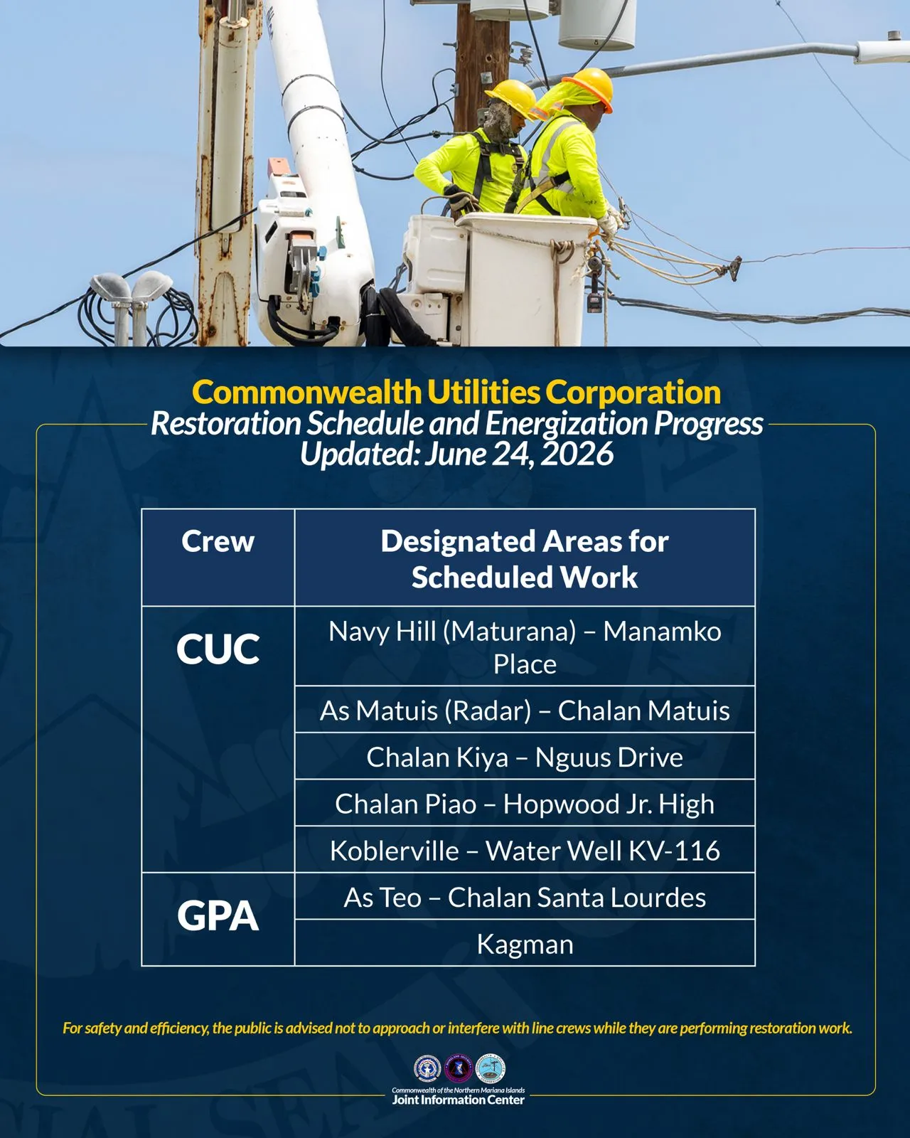
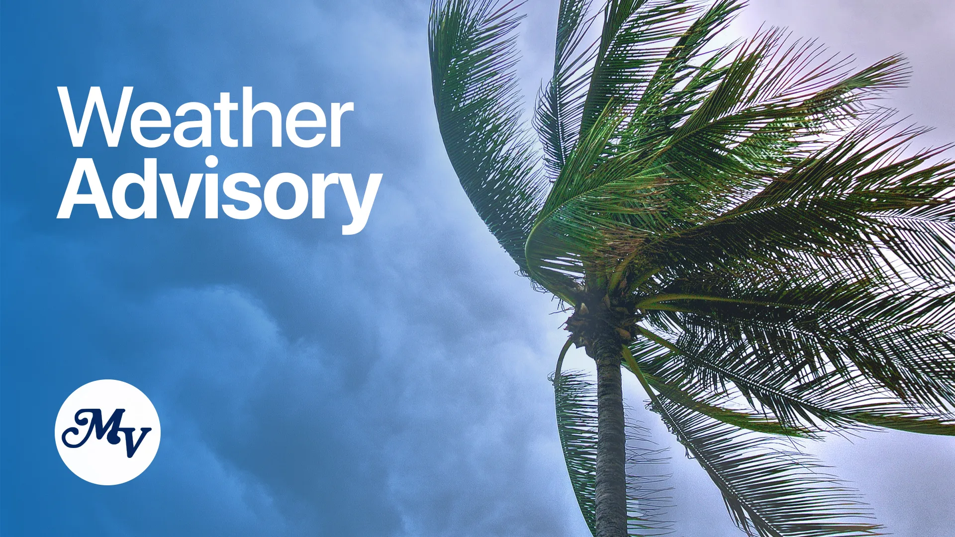


(CNMI Homeland Security and Emergency Management) — Based on the information received from the National Weather Service in Tiyan, Guam, and compiled at the CNMI Emergency Operations Center State Warning Point, a southwesterly monsoon is expected to maintain wet and occasionally breezy conditions across the Marianas.
There are also increasing chances for late week tropical development near the Marianas.
Latest numerical weather guidance continues to point to the development of another tropical disturbance in the Wednesday to Saturday time frame. However, there are significant differences in the various models. This could pose a threat of higher winds and waves affecting Guam and the CNMI.
Still, it’s far too early to determine if one or two systems form, or if two system do form, do they merge and where. Additional uncertainties remain in the potential strength and track.
In the meantime, a persistent southwesterly monsoon will periodically bring heavy showers to the Marianas with additional rainfall totals of 4 to 8 inches, locally higher, through Thursday morning. For that reason, a flood watch remains in effect.
Gov. Arnold I. Palacios is advising residents of the CNMI to stay informed on the latest forecasts and statements, which will be available through local media sources and NOAA weather radio broadcast on 162.5 megahertz. You may also call CNMI EOC State Warning Point at (670) 237-8000 or (670) 664-8000. Those in the Northern Islands can contact CNMI EOC State Warning Point at high frequency single side band radio on frequency 5.205.0.