


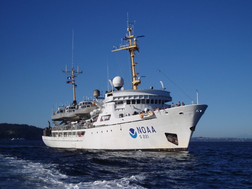
THE National Oceanic and Atmospheric Administration ship Rainier is scheduled to arrive in the CNMI on July 18 to measure water depths and gather information on corals, fish, and changing ocean conditions.
According to NOAA, the team aboard the Rainier will also collect high resolution bathymetric data to update nautical charting products, improve maritime safety, and characterize seabed habitat.
This data will be collected in areas of the Marianas Archipelago that, in some cases, have not been surveyed in over 80 years, if at all.
NOAA said that this is crucial for safe navigation and scientific study of the ocean, while also supporting the global initiative to map the entire ocean by 2030, known as “Seabed 2030.”
Experts in hydrography are aboard the Rainier to map the seafloor.
The Rainier will survey Guam, Rota, Tinian, Saipan, Aguiguan, Pagan, Maug, Asuncion, Agrihan, Alamagan, Guguan, Sarigan, and Farallon de Pajaros.
Small boats will be deployed from the ship along the forereefs around each island.
The Rainier carries two 28-foot survey boats, each with their own multibeam sonar. These small boats can access areas that would be too shallow or dangerous for the 231-foot-long ship.
According to NOAA, during this mission, scientists will conduct structure-from-motion surveys across the archipelago to measure the density, surface area, die-off, and health of corals.
Structure-from-motion photogrammetry is a process that combines seafloor images to create three-dimensional models of large areas of reef tract.
NOAA said monitoring the same locations over time will provide valuable information on the resilience of these coral reefs to local and global threats.
Scientists aboard the Rainier will measure water temperature, salinity, carbonate chemistry, and other physical characteristics of the coral reef environment.
Researchers will measure coral growth and bioerosion monitoring units to measure coral reduction.
Together, these instruments allow researchers to assess the potential early effects of ocean acidification on the corals.
Scientists will also observe the number and size of reef fish among the corals, as well as measure the coral size and health.
NOAA said these ecosystems are packed full of a variety of plants and animals, providing coastal protection, food, and livelihoods to millions of people worldwide.
But threats to coral reefs and marine ecosystems are growing.
Researchers are leaning more heavily on combining digital imaging, growth measurement tools, and fish observations to enhance our monitoring capabilities.
The Rainier will also use an advanced multibeam sonar system to measure water depths over a large area, resulting in a detailed picture of the seafloor.
NOAA said cartographers will use this to make nautical charts and scientists will use it to study ocean physics and marine ecosystems.

NOAA ship Rainier